We offer following Geomatics Services. Our Promoters have ample experience and expertise to successfully execute these projects. Please find details of some of the projects we previously successfully executed in India in the Project Page. Below given are some of the pictures from our previous projects

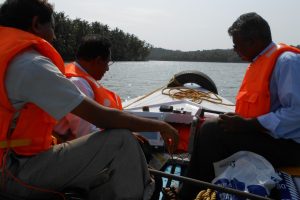
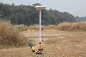
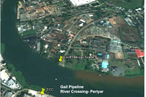
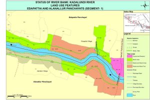
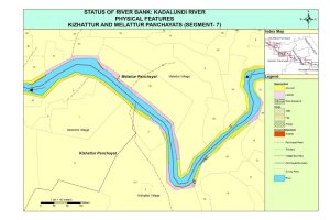

- Land Surveying
- Boundary Surveys
- Topographic Surveys
- ALTA/NSPS Land Title Surveys
- Construction Surveys
- Subdivision Surveys
2. Geographic Information System (GIS) Services:
GIS Mapping
Spatial Data Analysis
Database Design and Management
Remote Sensing
3.Global Positioning System (GPS) Services:
- GPS Surveying
- High-Precision GPS Control Networks
GPS Data Collection and Processing
4. Geospatial Data Acquisition:
- Aerial LiDAR (Light Detection and Ranging)
- Satellite Imagery Acquisition
- UAV (Unmanned Aerial Vehicle) or Drone Surveys
5. Hydrographic Surveying:
- Bathymetric Surveys
- Shoreline Mapping
- Sub-bottom Profiling
6. Geodetic and Control Surveys:
Establishing Geodetic Control Networks
Datum Transformations
7. Cadastral Surveying:
- Parcel Mapping
- Land Registration
8. 3D Laser Scanning:
- High-Definition Surveying
- Building Information Modeling (BIM)
9. Utility Mapping:
- Underground Utility Locating and Mapping
- Utility Infrastructure Surveys
10. Geospatial Consulting:
- Project Planning and Management
- Customized Geospatial Solutions
- Geospatial Data Integration
11. Geomatics Training:
- Training on GIS, GPS, and Remote Sensing Technologies
- Workshops on Data Analysis and Mapping Software
12. Environmental Monitoring:
- Monitoring and Analysis of Environmental Changes
- Habitat Mapping
13. Precision Agriculture:
- Crop Monitoring and Analysis
- Precision Farming Services
14. Geomatics Software Development:
- Custom Software Development for Geospatial Applications
- GIS Application Development

